Aschach Austria-Passau Germany
End of the most popular route
40 miles (64 km)
Total so far: 545 miles (877 km)
- World > Europe > Austria > Oberosterreich > Aschach – map
- World > Europe > Germany > Bayern > Passau – map
Last night a horrendous wind came down the Danube about 7 pm. It brought with it torrential rain, the kind that you see in the Brazilian jungle. We never knew it could rain so hard in this part of the world. We were glad our tent withstood the wind and the rain.Today, we noticed that we were going up river perhaps for the first time on this entire trip. It just felt like momentum could not be maintained without a constant pedaling. It felt that way leaving Linz as well. More than likely, the Danube will rise more steeply as we progress from Passau. We also had the last three days of mild headwinds. For a short time the headwinds were quite brisk. Still, it is nothing compared to climbing hills in other parts of the world. It just seemed more noticeable after cycling the very flat terrain in Hungry and the flat plains west from Vienna.
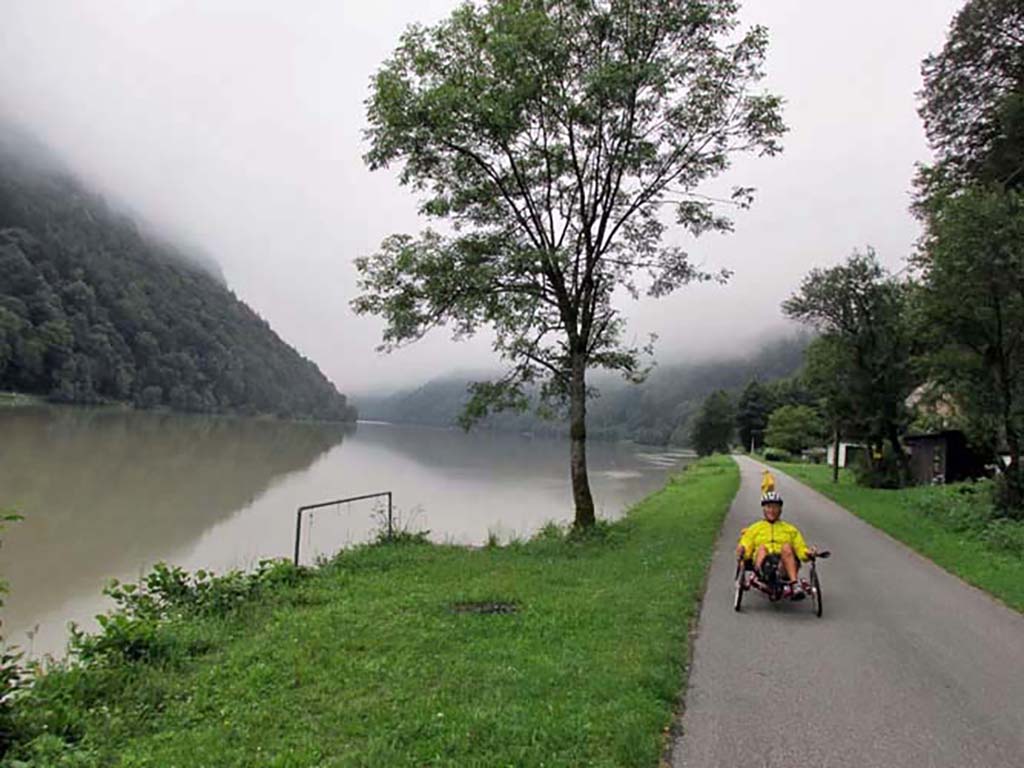
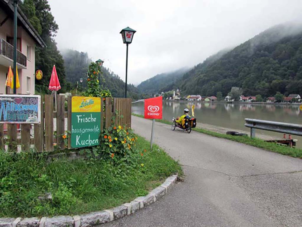
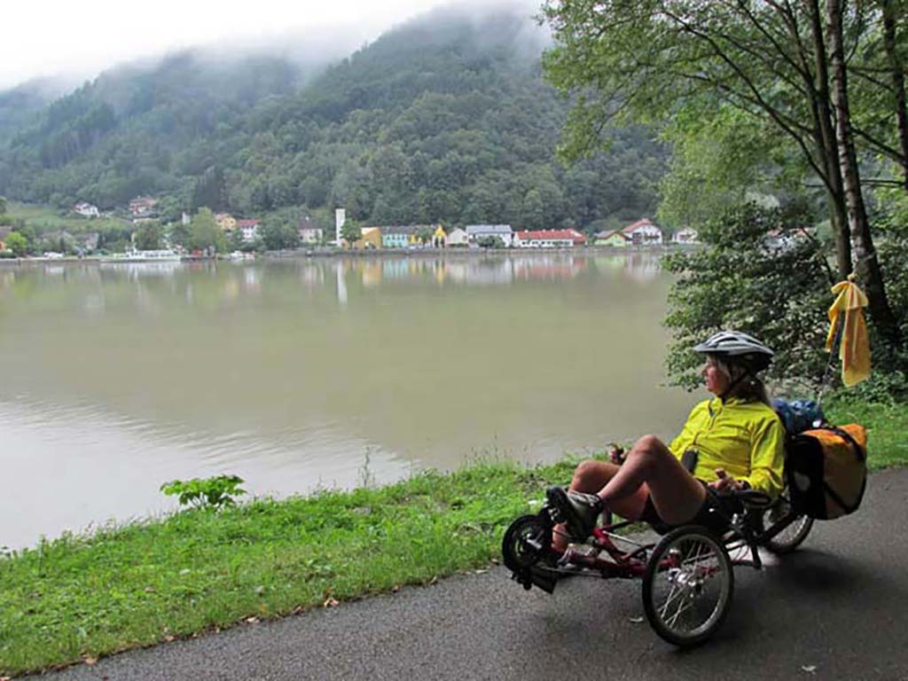
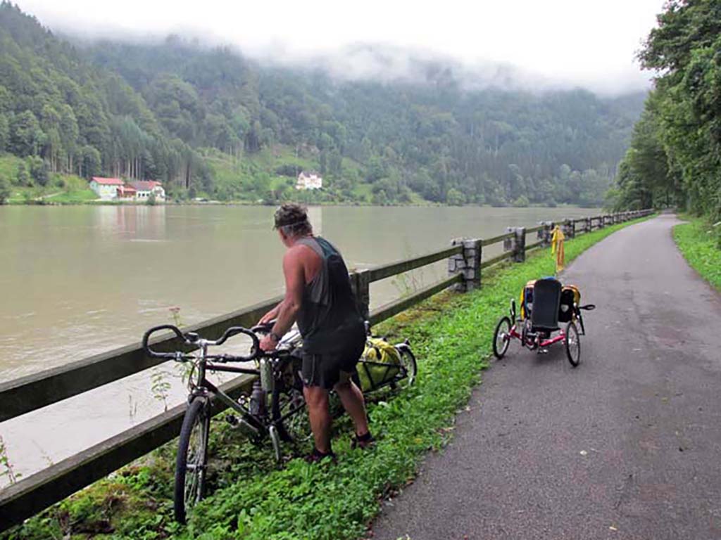
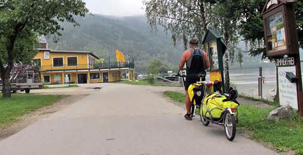
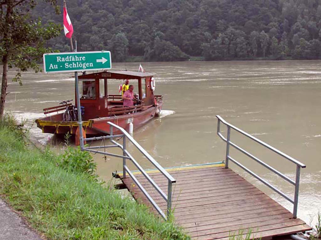
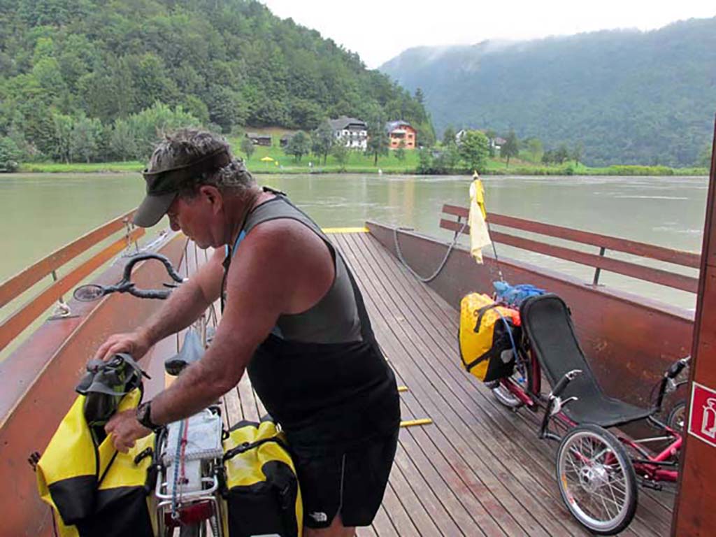
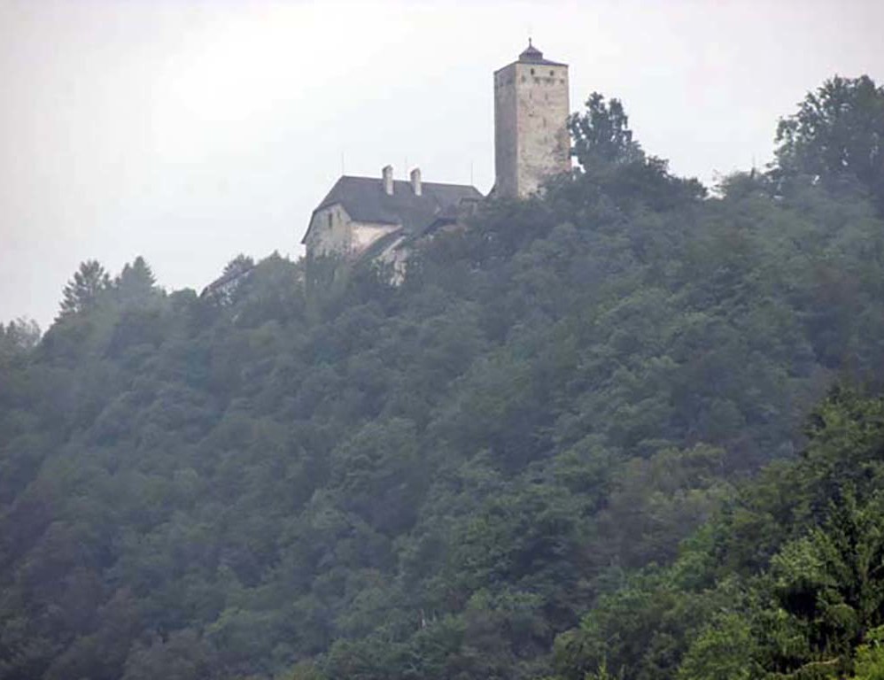
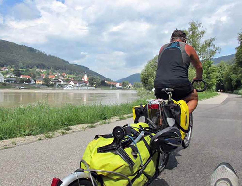
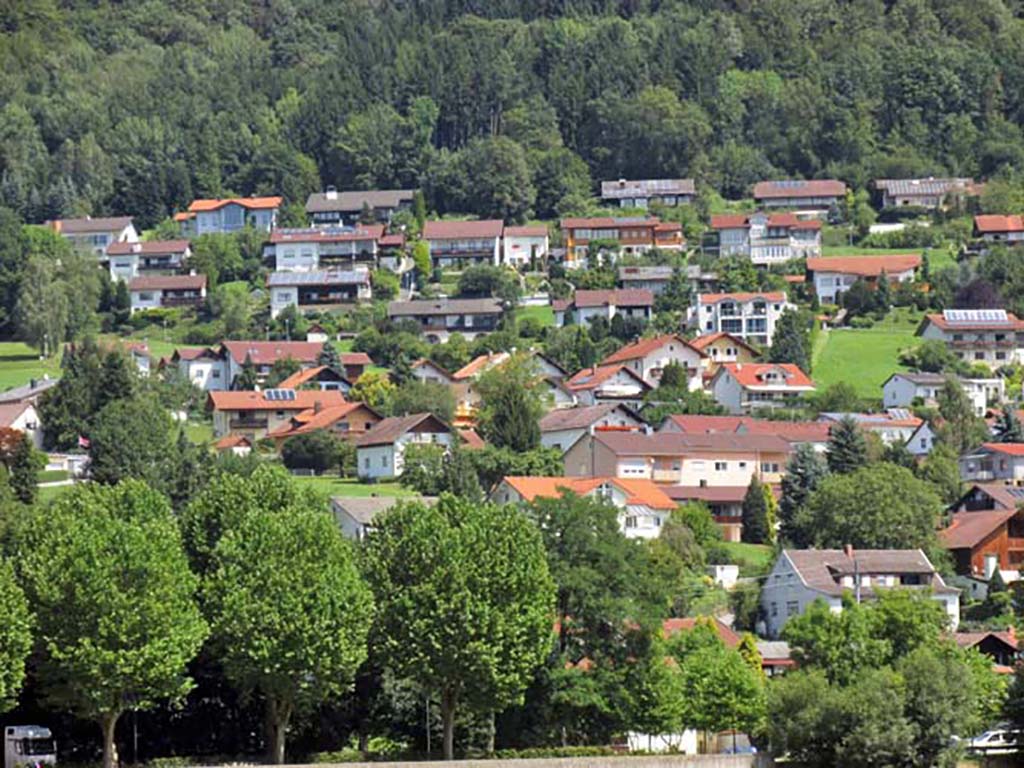
We left early in the morning and are riding on the right bank of the Danube through the famous s- curve. It is an absolutely beautiful area of forest and cliffs with the Danube flowing gently. The sky is overhung with the morning clouds; the forest seems as if it rains here all the time with the ferns and the thick foliage. We are the only ones on the beautiful bicycle path this morning.
-

- Aschach Austria-Passau Germany
-

- Aschach Austria-Passau Germany
-

- Aschach Austria-Passau Germany
-

- Aschach Austria-Passau Germany
-
- Aschach Austria-Passau Germany

-

- Aschach Austria-Passau Germany
-
- Aschach Austria-Passau Germany

-

- Aschach Austria-Passau Germany
-
- Aschach Austria-Passau Germany

-
- Aschach Austria-Passau Germany

-

- Aschach Austria-Passau Germany

Aschach Austria-Passau Germany
In the long run, we should have stayed on the north bank all the way into Passau. It is a much easier route to enter the city. We chose to come in to Passau on the right bank or South route because there were three campgrounds showing on the Bikeline map before you got into the city.
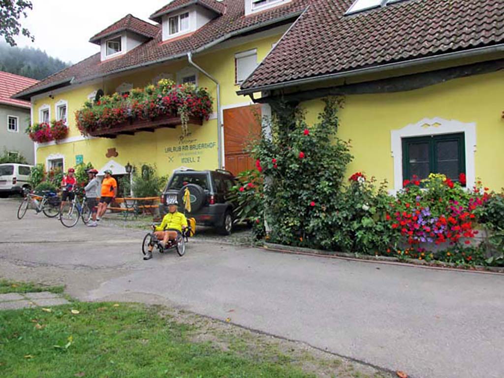
The first campground north of Engelhartszell was a Park for permanent residents. We cycled around the park but did not see an area for tenters. A sign marked the turnoff for the Vichtenstein campground which is 4 kilometers off of the bike trail from Kasten. We did not go there. The campground on the river north of Kasten was also a residential motorhome Park with no restaurant and no tent sites. The third campsite in Pyrawang we never saw. So we ended up coming into the city which we did not want to do to spend the night.
We had a terrible time getting into Passau from the south route. The R1 signs disappeared and the EV 6 signs we hadn’t seen since we entered Austria. We do not recommend that route. The signs completely disappeared as soon as we entered Germany. There were only signs with a bicycle on it, but it did not delineate whether it was a local route or the EV 6, or R1 route. Part of the path that we traveled was narrow, rough gravel. At one point, it led to a narrow staircase; we opted for the road with traffic. It was extremely confusing.
A cyclist we had met in the campground last night came in on the northern route. She said it was a piece o’cake. The signs showed her where to go and she crossed the bridge into the city. If you come in on the north bank or the left bank into the city you would be closer to the tent sites marked on the map. They are very close to the city and would be very convenient. We wished we had come in on the North route and found those sites.
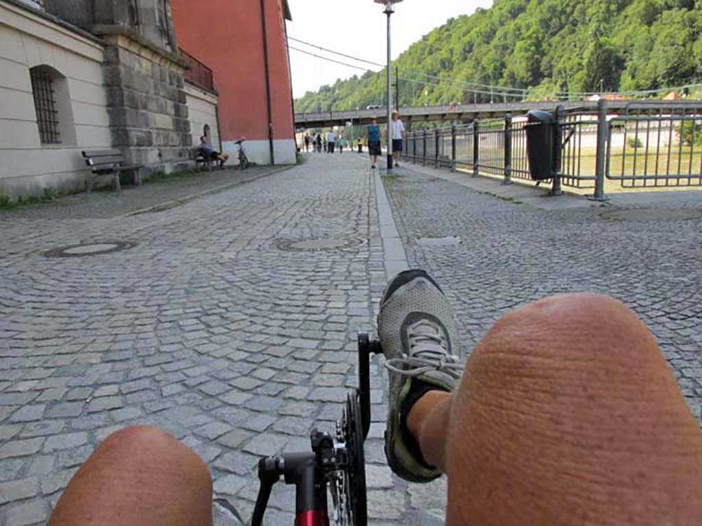
We wound our way through the city and cross the bridge into the center of the city area, but we were lost at all points. Finally after asking a local how to get to the information office, she sent us on a bicycle/pedestrian path that was cobblestone and dirt. Wow. Brutal!
-

- Aschach Austria-Passau Germany
-

- Aschach Austria-Passau Germany
The information Bureau in Passau showed us directions to the hostel near the railroad station, and the Rotel Inn, just a little bit further. We never saw the road turning off to the railroad station and ended up at the Rotel Inn. Now here is really something unique. For 50 Euro a night for two people you can get a room the size of a 5 x 6’ bed +4 more feet to enter the room. This is a new concept, as we read in their brochure, that is gripping the nation. What a pity. It seems to be based on the Japanese idea of stacking bodies into the tiniest space you can possibly get.
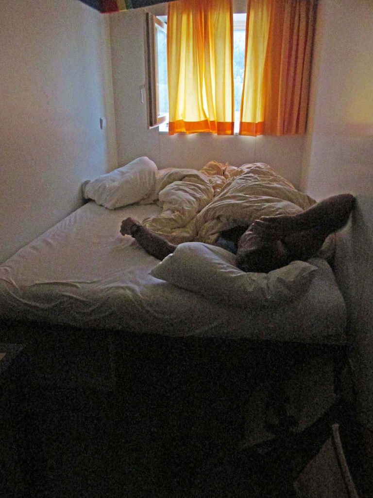
The redeeming factor is that they have a very large lounge room with tables and power outlets and Internet. There is also a balcony overlooking the river. But somehow, there is something missing in this equation, because hostels have been offering the same amenities for years. The rooms have always been small, but there is a lounge area for the guest.
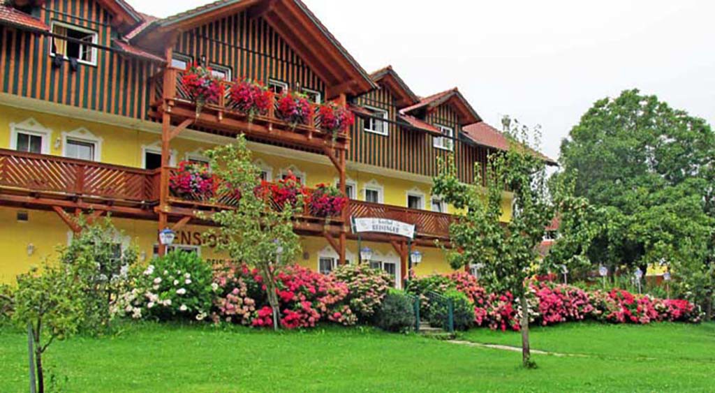
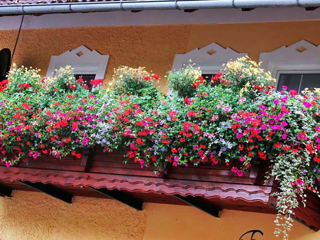
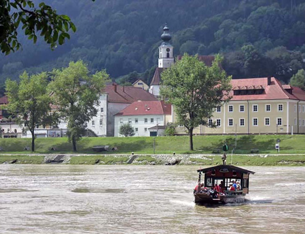
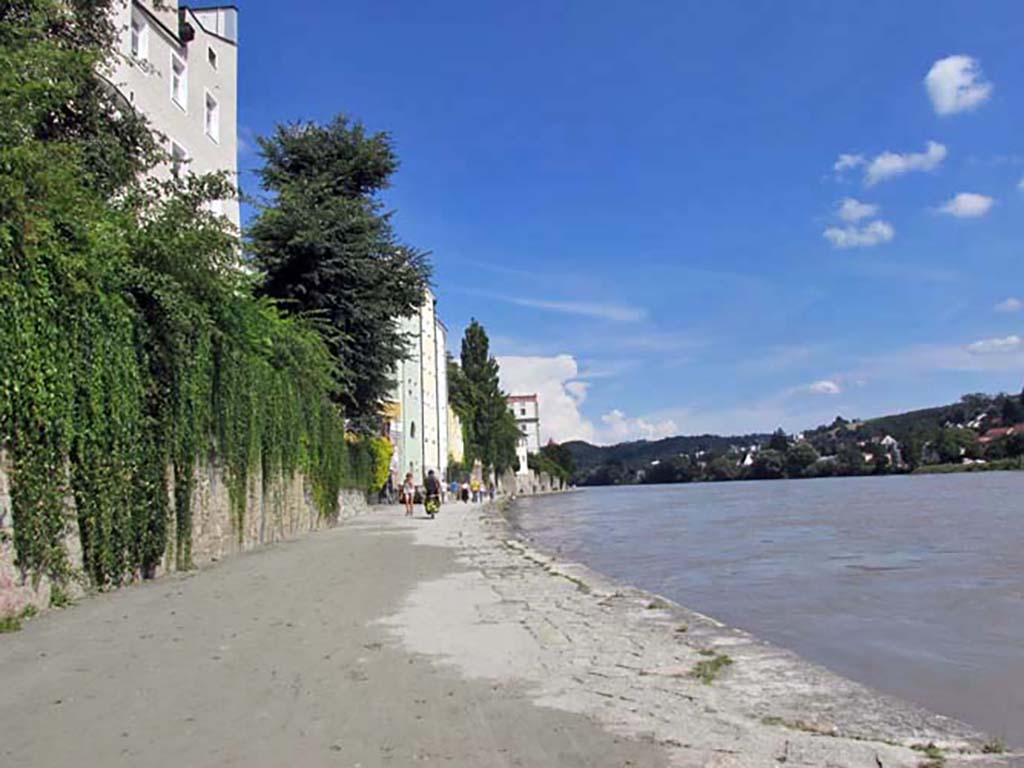
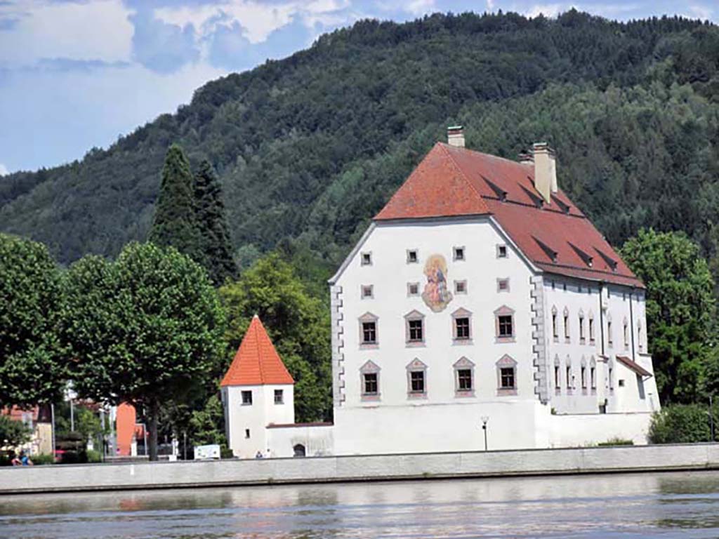
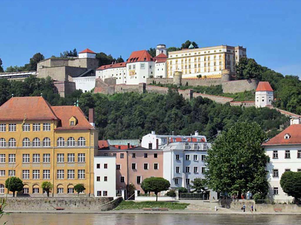
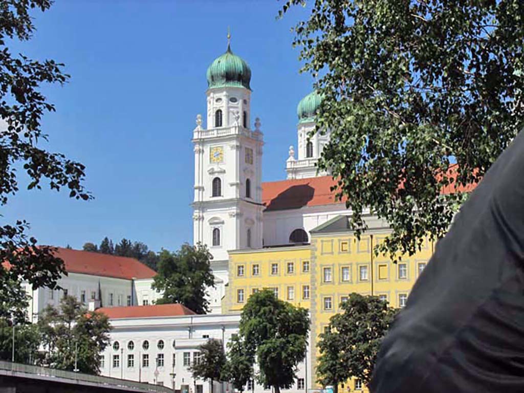
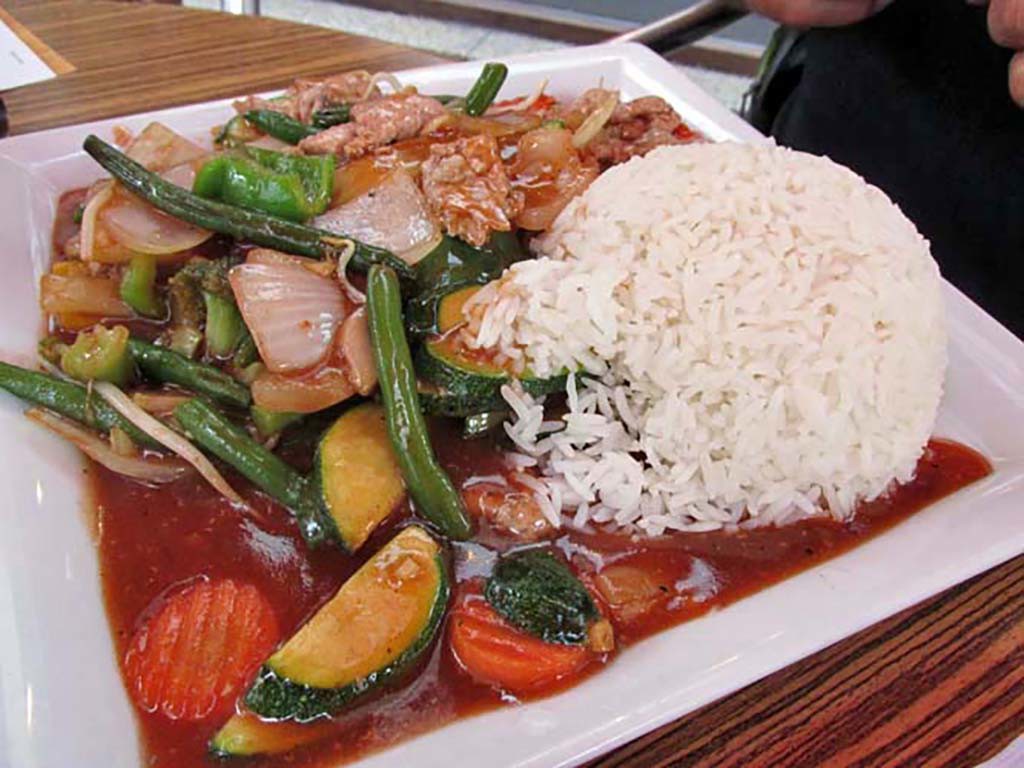
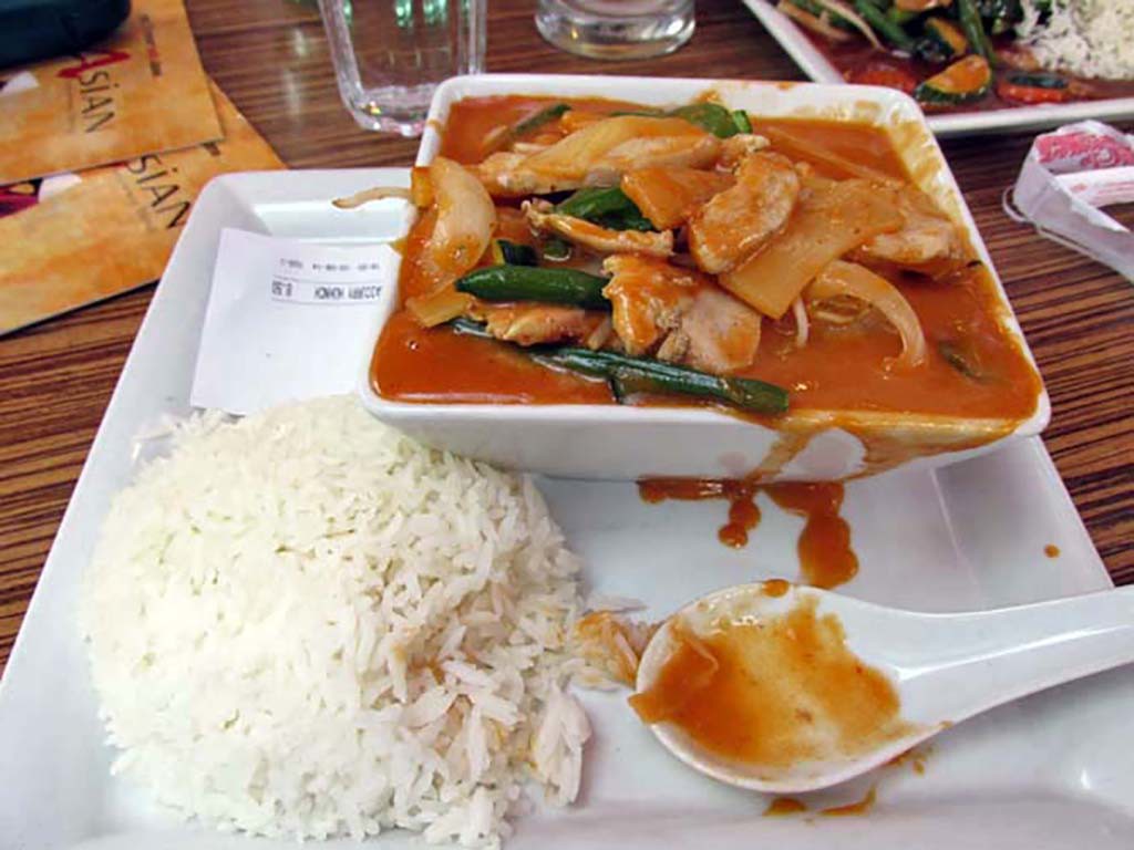
Passau itself is a treasue. The old city with winding narrow streets and historic buildings is a delight.
-

- Aschach Austria-Passau Germany
-

- Aschach Austria-Passau Germany
-
- Aschach Austria-Passau Germany

-
- Aschach Austria-Passau Germany

Anyway, we are exhausted and too tired to look for the Bikeline book from Passau to the end of the Danube. We will do that tomorrow. We have been a little disappointed with the Bikeline books. It would seem a simple task to state if the campground has tent sites or is just motorhomes or for retirees. It would also seem a simple task to state if there was a restaurant or Internet at the campground. There are so few campgrounds along the entire route, it could not be a difficult task to research the ones that would be appropriate for cyclists. An additional thought would be to mark the south and north bank routes on the same map. Many cyclists have complained about having to page back and forth to compare the two routes. Bikeline makes little effort to suggest a better side for scenic or for traffic reasons.
At dinner in Passau, we met another cyclist from the day before. He showed us his map system that he used instead of Bikeline. It is a downloadable map he uses on his Ipod without the need for Internet. The maps are called Pocket Earth and cost $4. We have yet to investigate, but he says he can plot his entire route for each day using the program. It is bike specific routing maps with excellent detail.
-
- Aschach Austria-Passau Germany

-
- Aschach Austria-Passau Germany
