
Page Contents
Hiking
Ouray-Silverton-Lake City
Colorado
Why Hiking Ouray-Silverton-Lake City
is so appealing
We have published 3 guides on hiking Southwest Colorado. Our guide book featured on this page is Southwest Colorado High Country Day Hikes: Ouray, Silverton & Lake City. These 3 historic Victorian towns serve as the hubs for 67 scenic hiking trails. Hiking Ouray, Silverton & Lake City is a Colorado mountain hiking experience with enough trails for every skill level to delight all comers!

Included in the guide are early season trails that have lower elevations, but most of the hikes are above timberline with trailheads starting over 9,000 feet and climbing to over 14,000 feet.
Hiking above timberline is extremely gratifying; it evokes a sense of grandeur not found in the forests or lower elevations.
Numerous hikes follow parts of the spectacular Continental Divide Trail and the Colorado Trail. Many hikes are cross country following intermittent animal and old pack trails. We included some of the most popular Colorado 14ers as well as some of the easier peaks to introduce this type of environment to some that might not otherwise experience them. But, even at these elevations, there are trails for all difficulty levels. That is the magic of hiking Ouray-Silverton-Lake City!
This is Colorado high country hiking at its best.
The Famous Alpine Loop, an area of 4x4 mountain roads, connects these 3 historic mining towns.
If you have a 4x4 vehicle, it is an absolutely thrilling experience to drive the loop.
Access to some of the Lake City hiking trails is on this loop.

Silverton Magazine.com offers a good explanation of the Alpine Loop

If you don’t have a 4x4 vehicle, drive the gorgeous, paved San Juan Skyway (The Million Dollar Highway) between Ouray and Silverton. (Telluride, another of our hiking guides, is also on this scenic loop.)
Even if you are not a hiker, you may want to drive this road!
Many of the hikes in our book are accessed from this highway.
To drive to Lake City on paved roads is an excuse to drive the absolutely stunning West Elk Loop (which also goes to Crested Butte Colorado, one of our other hiking guides).
From Gunnison, Hwy 149 south to Lake City is equally delightful. You simply can’t go wrong driving these fabulous roads between these historic towns.
These scenic byways are reason enough for a vacation! All the Colorado Scenic Byways in the state are explained by Coloradodirectory.com
All of our books use color coding for difficulty levels.
Many of us don’t like to read a lot of words.
We are visual.
So we provide both venues in our books.
Notice the explanation of the use of colors in the right hand column.
This is the essence of our use of visual data information.
These same colors that define degree of steepness, also define the overall difficulty level of the hike and match the colors on the elevation profiles, and the GPS circles, and the trail on the map.
Now that is a visual aid!


Here is a really complicated trail with a lot of significant gradient changes.
Each different color on the trail map tells you where the changes are, to what degree, and for how long.
Now that beats reading the fine print!

Notice the elevation profile uses the same colors.
It’s a lot easier to see where the very strenuous climbs are.
They are in RED!
Hiking Ouray-Silverton-Lake City
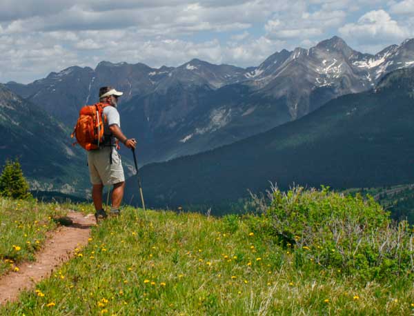
Hiking Ouray Colorado
Now, let’s go on some hikes!
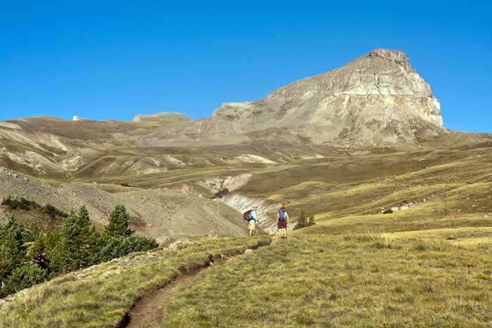
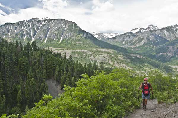
Ouray, Colorado is known as the Little Switzerland of America with good reason.
Tucked into a small valley that would seem to be a dead end, a winding, twisting roads ascends the south end to a high plateau and pass before dropping down into Silverton, Colorado.
The town itself is a delightful walking town with restaurants and shops for every choice.
Because of its lower elevation, many hiking trails are accessible in June, whereas the higher elevation trails are still bound in snow.
Portland Mine Loop Trail is just such an early season trail.
The Cyan colored box on page left and the cyan tabs indicate this hike is Moderate Difficulty


Notice how the cyan colored tabs carry over into page 2 of Portland Mine Loop Trail.
The colors on the trail on the map indicate gradient steepness.
These colors are the same on the elevation profile.
The circles colored in the text match the map and profile.
All these little visual aids add up to give an easy assessment of the hike’s terrain.


One of the most popular hikes out of Ouray is to Blue Lakes.
This route has 4 options, detailing different difficulties and distances.
Choose an option based on fitness and desire.
The colors tell you at a glance that the first option is Moderately Strenuous (Blue)
The 2nd option is Strenuous (Orange)
The 3rd & 4th options are both Very Strenuous (Red)
There are hikes right from the town of Ouray.
The Perimeter Trail encircles Ouray.
There are multiple access points, therefore multiple distances.
One thing for certain is not to miss Lower Cascade Falls.
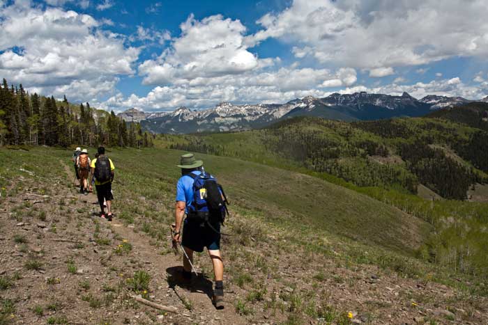
And, there are hikes outside of Ouray in various wilderness areas.


Hiking Ouray-Silverton-Lake City
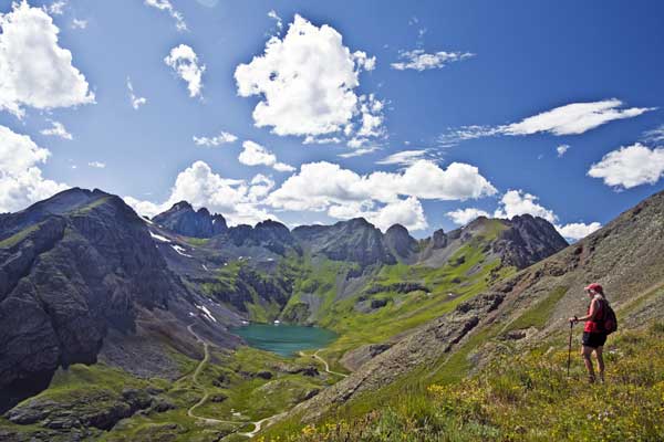
Hiking Silverton, Colorado
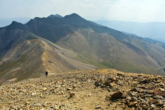
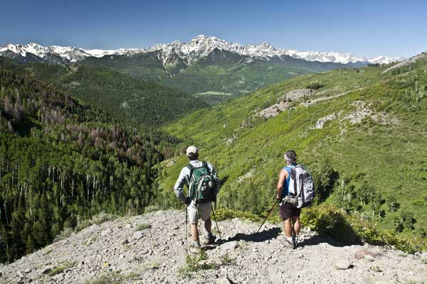
Many hikers are unaware of the enormous variety of hiking trails near Silverton, Colorado.
There are 33 trails!
Overall, the trails are steeper and more rugged than Ouray trails. But, Because we detail easier options for the more difficult trails, there are actually 57 hikes to choose from!
There are 6 Easy Routes (Green)
Choose from 18 Moderate Routes (Cyan)
or 16 Moderately Strenuous (Blue)

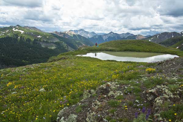
These higher elevation trails offer amazing vistas of the high peaks of the San Juan Range.


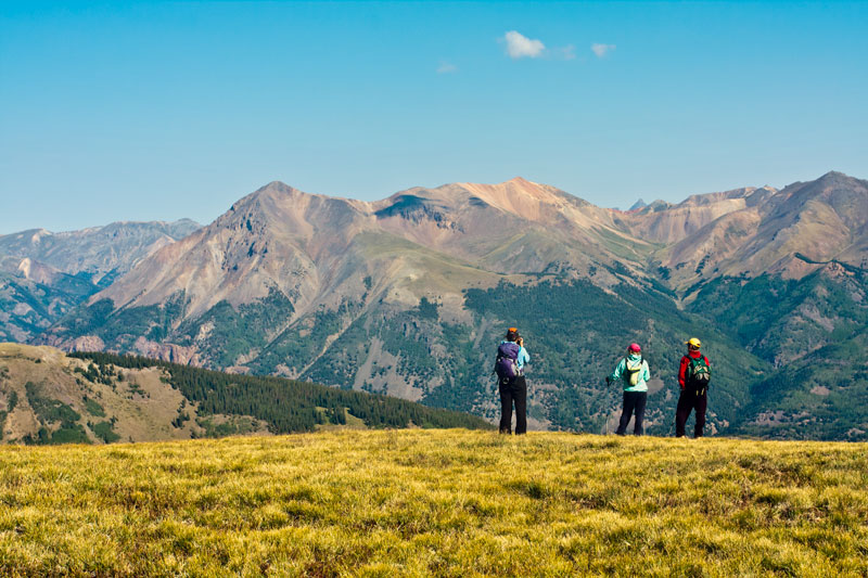
Nancy’s Grassy Peak, although a high elevation hike, is really quite mellow for Silverton.
It traverses more than it climbs.
Notice that we have overlaid the trail on the photographs.
Many trails in Silverton are faint in various places so we show you where to go using our pictures!
The views of the San Juan Range across the valley are superb.


Perhaps the most famous hike in Silverton is to Ice Lake.
There are really two routes to the lake, one starts at a higher elevation than the other.
There are also options to hike to two more lakes nearby.

Hiking Ouray-Silverton-Lake City
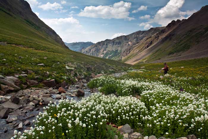
Hiking Lake City Colorado
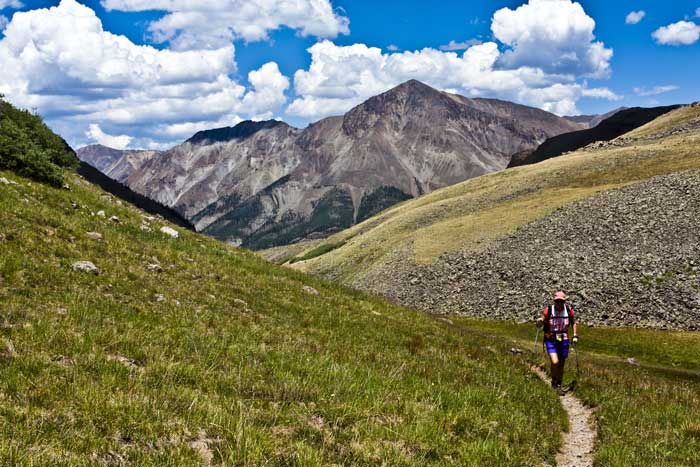
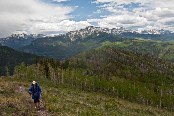
Lake City has five 14,000 foot peaks to offer as well as long sections of the famous Colorado Trail.
For each peak, we detail a shorter, scenic, less strenuous option.
For the Colorado Trail, we have divided it into sections that can be hiked in a day.
Lake City is high country hiking at its best.
The Colorado Trail stretches 486 miles from Denver to Durango, Colorado.
The CT is divided into 28 sections giving access to day hiking along the entire length of the trail.
The route passes through eight mountain ranges, six National Forests, and six wilderness areas.
The highest elevation is 13,271 feet (4,045 m) in the San Juan Mountains. The trail rises and falls drastically. A hiker traversing the entire length of the trail will gain (and lose) about 89,000 vertical feet.
This photo shows a day hiking section taken from our hiking guide.
Hiking the Colorado Trail near Lake City, Colorado
Lake City Colorado is small.
In 2000, the population was 375 people.
In the historic days as a mining town, it was much bigger.
Today, it is the hub for adventurists who come to hike, fish, hunt and ski.
It is remote, unique, a treasure still undiscovered.


Many of the trails near Lake City are accessed from the famous 4x4 Alpine Loop.
To make the most out of a trip to Lake City, plan to rent a jeep or drive your SUV.
Still, numerous hikes, especially the easier trails, can be accessed with a car.
All of our hiking guides have trail locator maps.
Notice that we use different road styles to delineate between paved, gravel and 4x4 access roads.
What a concept for a hiking guide!

Here is a section of the Colorado Trail you can drive to on paved highway.
Our guide book divides this long trail into 4 different distances.
Once you are on the Mesa top, which is a moderately strenuous climb, the remainder of the hike undulates easily.
Go as far as you wish.
We also have a peak ascent as an option along this trail.
There is something for everyone!


Handies Peak is a 14,000 foot peak that does not require any technical skills to summit.
But, it does require a high clearance vehicle to get to the trailhead.
Notice that our guide book tells you that!
And, the map shows you that!
If you don’t want to ascend to 14,000 feet, we suggest sensible, scenic, shorter turn around points.
And for hikers with a ton of energy, our hike options continue down Grizzly Gulch!


If you already have our book,
and would like to share your opinion about it with others,
you can write your own review on Amazon.com
This is our printed version. Click on “Amazon” button below to go directly to Amazon
Here is what buyers of our book on hiking Ouray-Silverton-Lake City have to say about our style of hiking guide.
By Kim on September 22, 2014
NEW!
This is our digital version in PDF format. Click on “Digital Store” to go directly to our download page
Copyright Material
All rights reserved. No part of this page may be reproduced or utilized in any form by any means, electronic or mechanical, including downloading, print screen, photocopying, recording, or by any information storage or retrieval system, without the prior written permission by the copyright owner.