Nevers-La Charite Sur Loire-France
Canal Above a River!
28 miles (45 km)
Total so far: 1,387 miles (2,232 km)
Ascent: 522 ft (159 m); Descent: 645 ft (197 m)
- World > Europe > France > Bourgogne > Nevers – map
- World > Europe > France > Bourgogne > La Charite – map
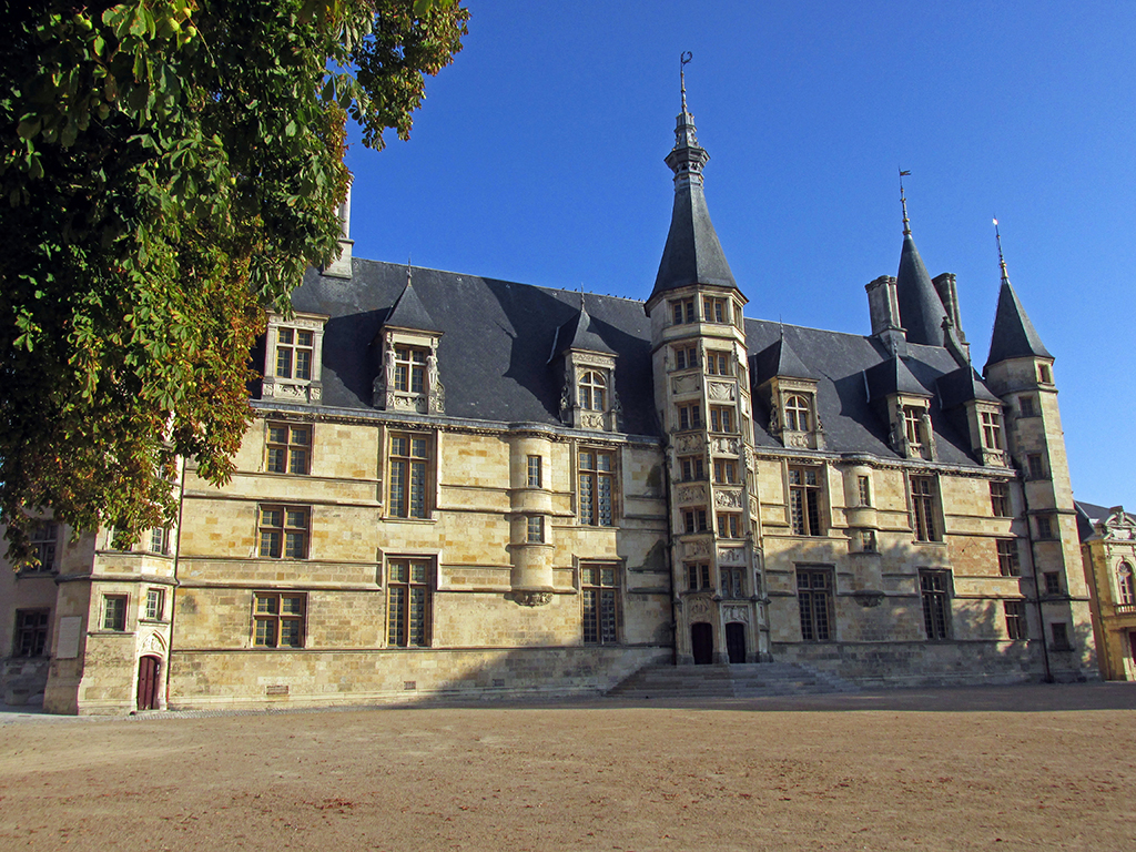
We rode into Nevers in hopes of finding the next map in the route to the Atlantic. Nevers is the halfway point crossing France and our current book stopped here. We were lucky to find a book in English, even though it is a different publication from the Bikeline Maps we had been using. Published by Bike Guide: The Complete Loire A Velo Trail Nevers and Orleans to the Ocean. The tourist office was in the main square next to a magnificent cathedral and palace.
-
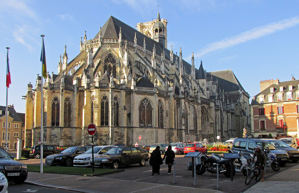
- Nevers-La Charite Sur Loire-France–Nevers cathedral

-
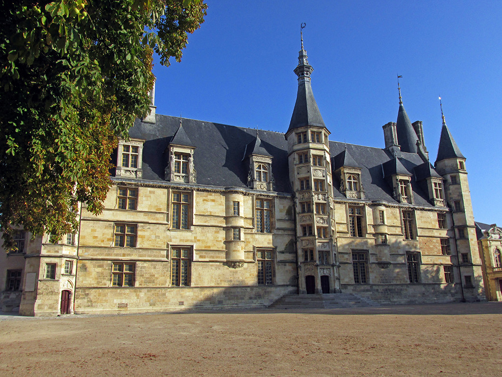
- Nevers-La Charite Sur Loire-France–Nevers Palace
-
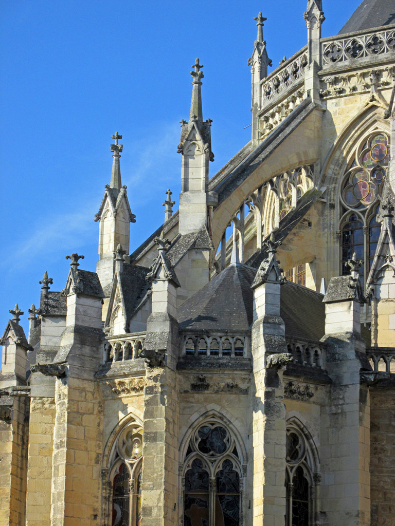
- Nevers-La Charite Sur Loire-France–Nevers cathedral

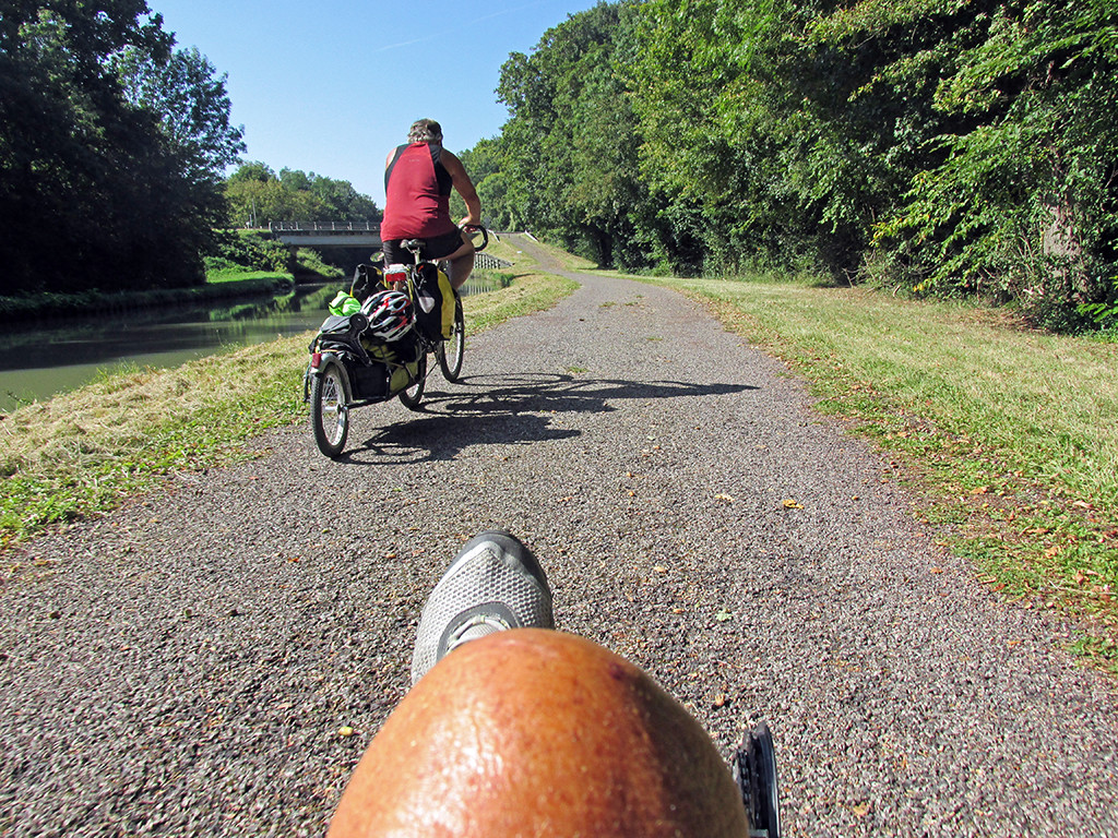
The bike path that leaves Nevers and heads west towards Orleans is in terrible condition as far as the Pont Du Canal. It is old chip seal that is broken and rough. It follows the Canal La Loire and is very slow going. We labored to keep 8 mph when normally, on a good smooth surface, we could easily sail along at 15 mph.
-
- Nevers-La Charite Sur Loire-France-Canal loire-rough paving

-

- Nevers-La Charite Sur Loire-France-Canal loire-rough paving
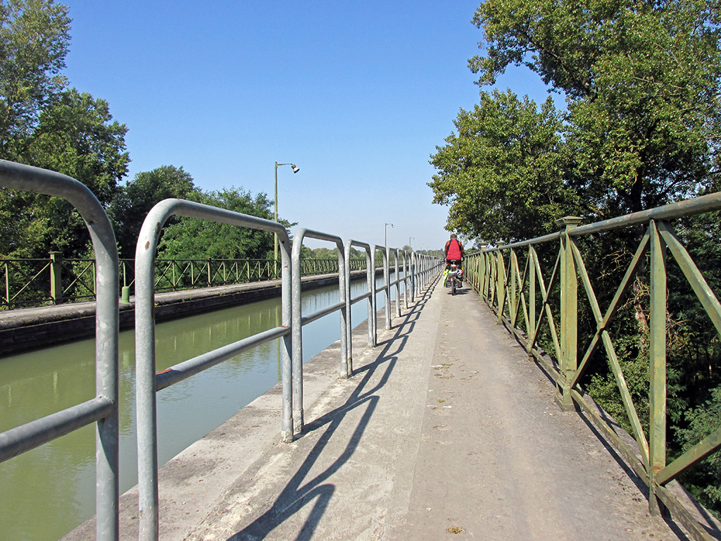
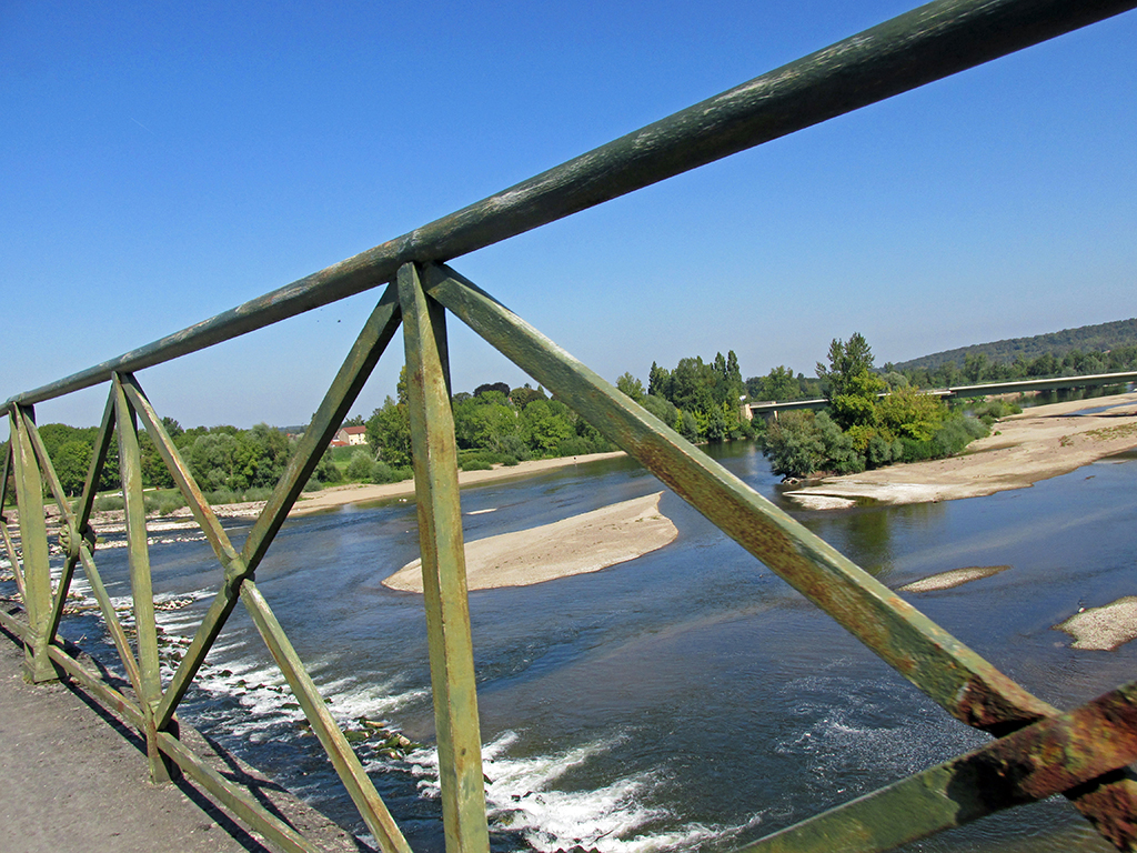
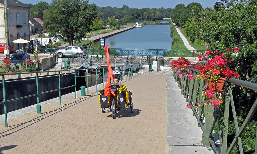
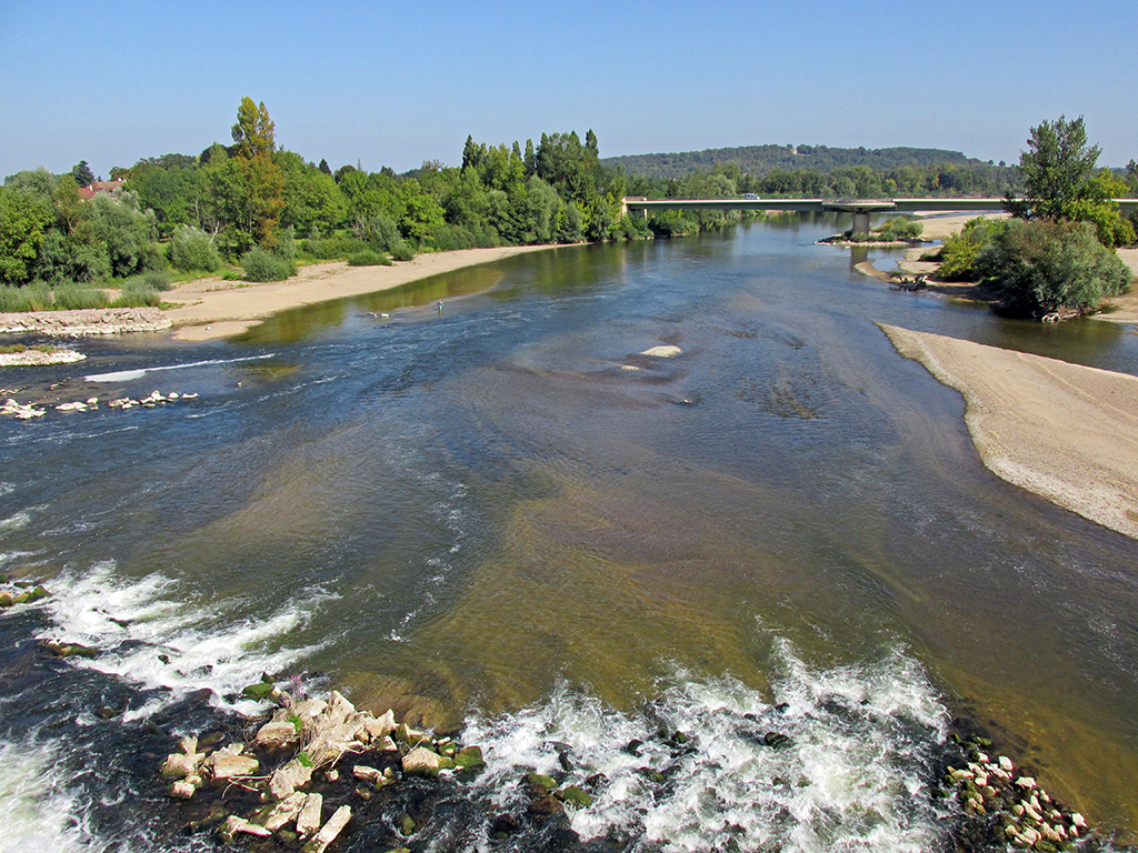
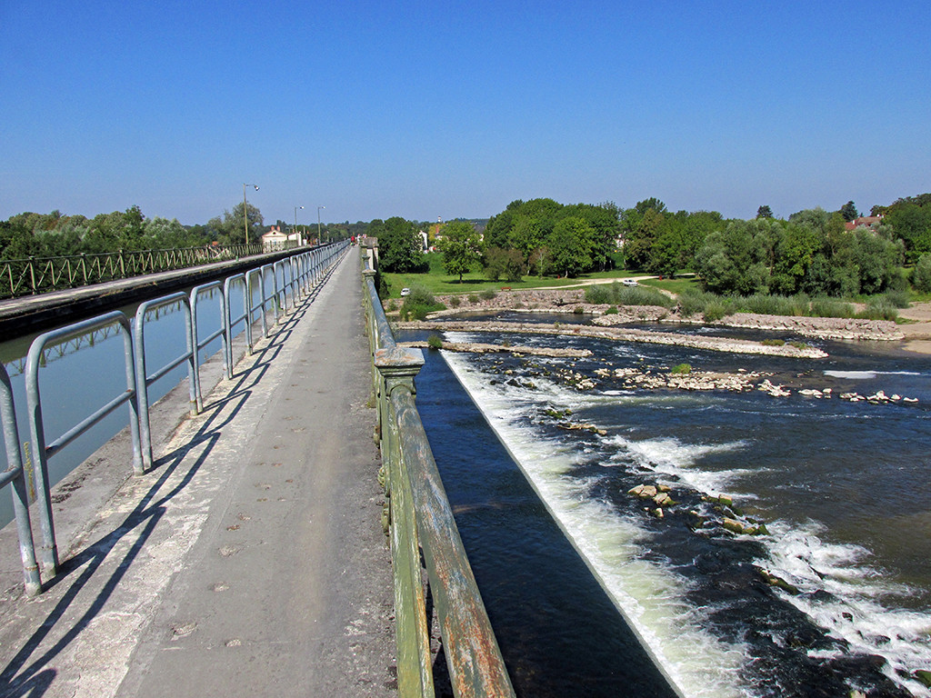
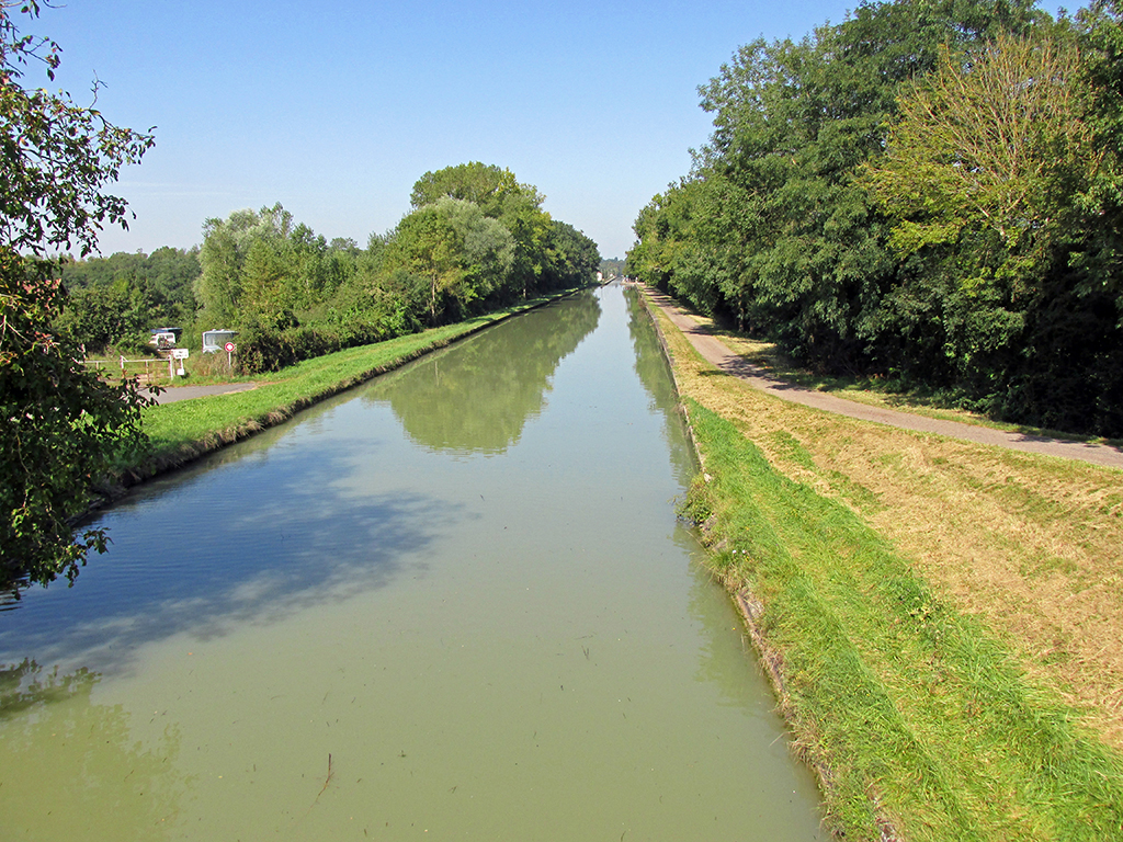
The canal crosses the Allier River on a bridge. It is truly fascinating, the engineering it took to support water and boats high in the air above a fast moving river.
-
- Nevers-La Charite Sur Loire-France-Canal Loire–over Allier River

-

- Nevers-La Charite Sur Loire-France-Canal Loire–over Allier River
-
- Nevers-La Charite Sur Loire-France-Canal Loire–over Allier River

-

- Nevers-La Charite Sur Loire-France-Canal Loire–over Allier River
-
- Nevers-La Charite Sur Loire-France-Canal Loire–over Allier River

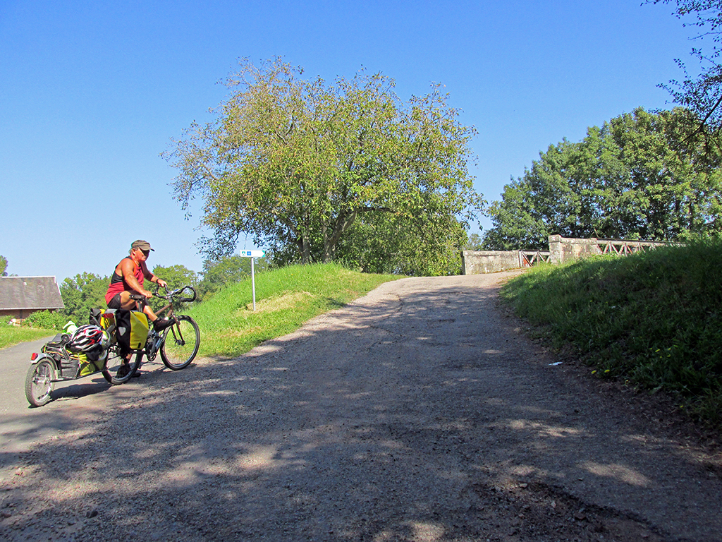
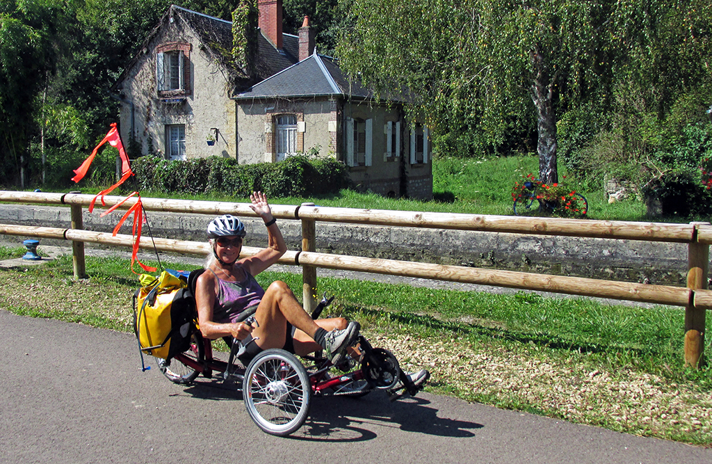
After the canal bridge, we rejoined small French roads and short stretches of bike paths that varied in condition.
-
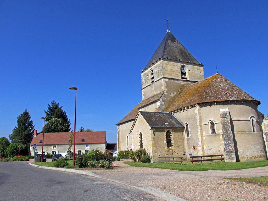
- Nevers-La Charite Sur Loire-France-unknown church
-
- Nevers-La Charite Sur Loire-France-Canal loire-
-
- Nevers-La Charite Sur Loire-France-Canal loire-
Nevers-La Charite Sur Loire-France-Givry
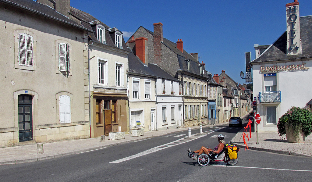
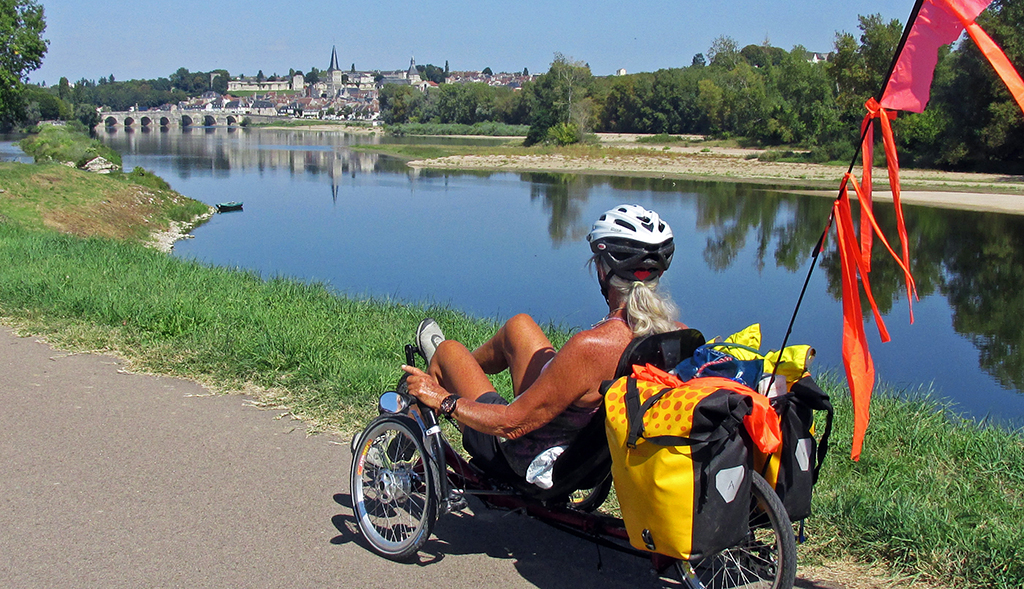
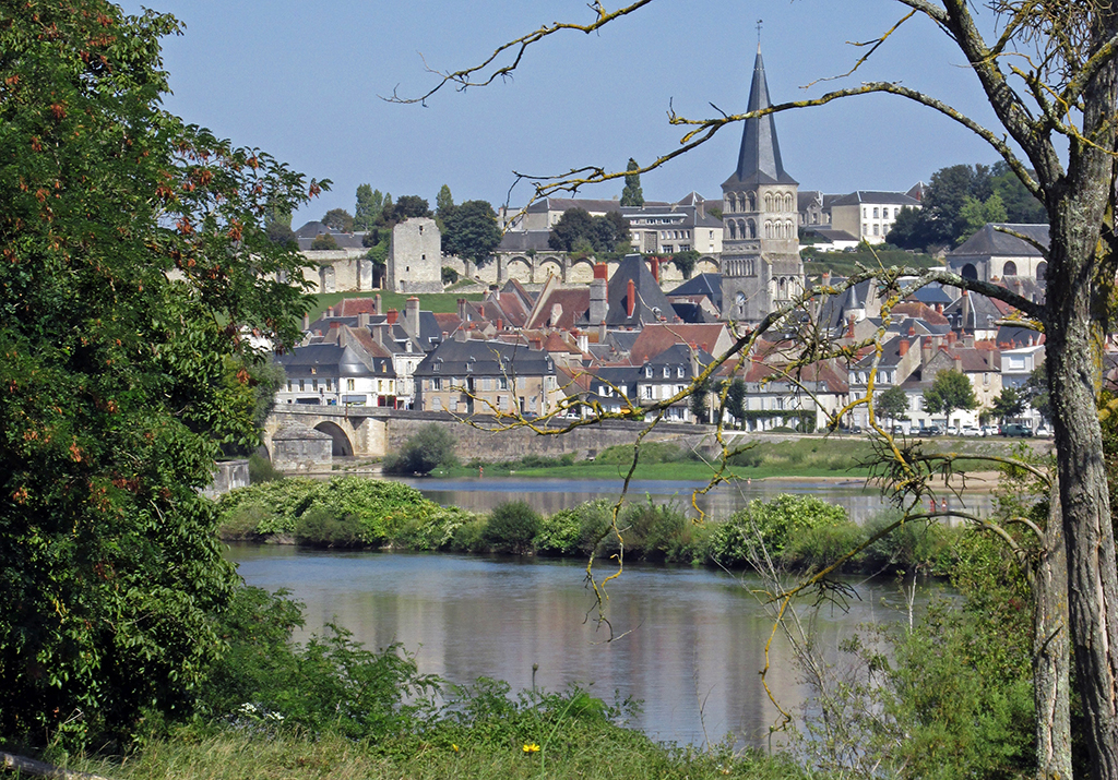
Finally, after Marseille-Les Aubigny, we cruised along a smoothly paved bike path all the way to La Charite. The campground is on the island between two bridges that lead to the interesting town of La Charite. It has Wi-Fi, a common room with fridge and freezer, TV, but no cooking facilities.
La Charity is well worth a visit as it still has the charm of a medieval town. The stone bridge is one of the oldest on the Loire having been constructed in the 16th century.
-
- Nevers-La Charite Sur Loire-France-
-
- Nevers-La Charite Sur Loire-France-