Neustadt-Vohburg-Germany
More rain
10 miles (16 km)
Total so far: 686 miles (1,104 km)
- World > Europe > Germany > Bayern > Eining – map (Neustadt is not listed so we chose Eining for this map)
- World > Europe > Germany > Bayern > Vohburg an der Donau – map
Route 2,965,678 – powered by www.bikemap.net
It is another rainy night and a rainy morning, so we got a late start again.
When you leave Neustadt and are going towards Ingolstadt, you have a choice of two routes. From Neustadt, if you cross a bridge to the north bank you will have mostly paved route even though a small portion of it is on busier streets.
We stayed on the south bank which followed closely along the Danube. But it was gravel all the way and because of the rain it had softened up sufficiently to make it very slow. Sections were not well maintained as grass was growing up in the middle and creating two single tracks again. Anne always had a hard time with the trike in these conditions.
We didn’t particularly enjoy that route. We wished we had crossed the bridge to the north bank.
-

- Neustadt-Vohburg-Germany-tough gravel path
-

- Neustadt-Vohburg-Germany-tough gravel path
-

- Neustadt-Vohburg-Germany-tough gravel path
-

- Neustadt-Vohburg-Germany-tough gravel path
We still have not figured out what signs to follow. Sometimes they say, “Tour de Bologne; other times: Donauradweg. Today, we saw different signs at key intersections, but did not see either of the regular ones for this route.
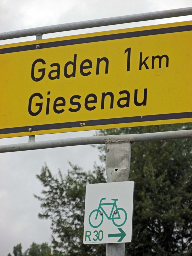
Neustadt-Vohburg-Germany-confusing signs
We only made it as far as Vohburg before it started to downpour again. There was a tenting site nearby. We checked it out. There was a big field next to the Danube, an outhouse, and no other amenities. But we could see a café just a hundred feet away. It had a nice warm, dry dining area and Internet so we decided to call it a day. Ingolstadt was still a slow gravel ride away.