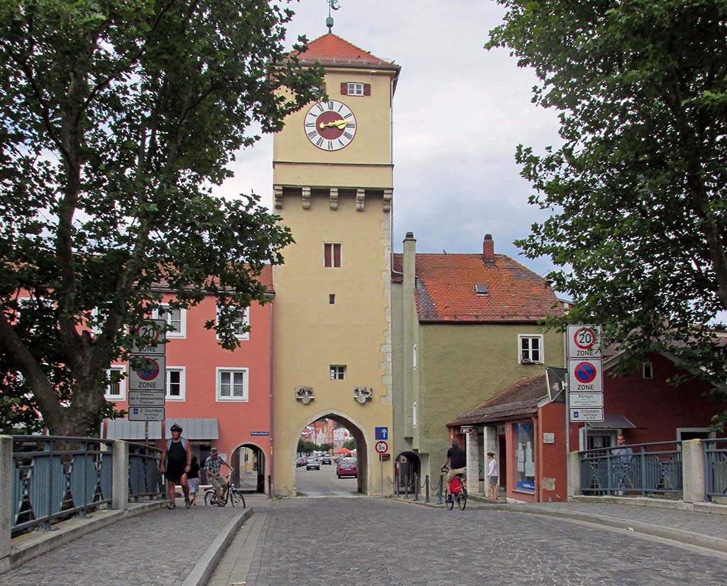
Regensburg-Neustadt-Germany
Some tough Gravel Sections
35 miles (56 km)
Total so far: 676 miles (1,089 km)
- World > Europe > Germany > Bayern > Regensburg – map
- World > Europe > Germany > Baden-Wurttemberg > Neustadt – map
-
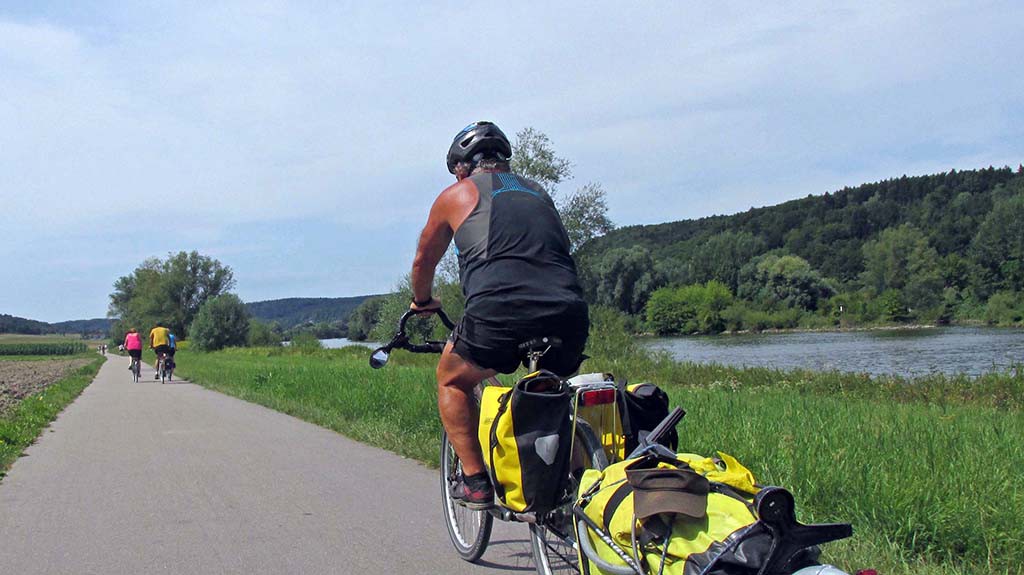
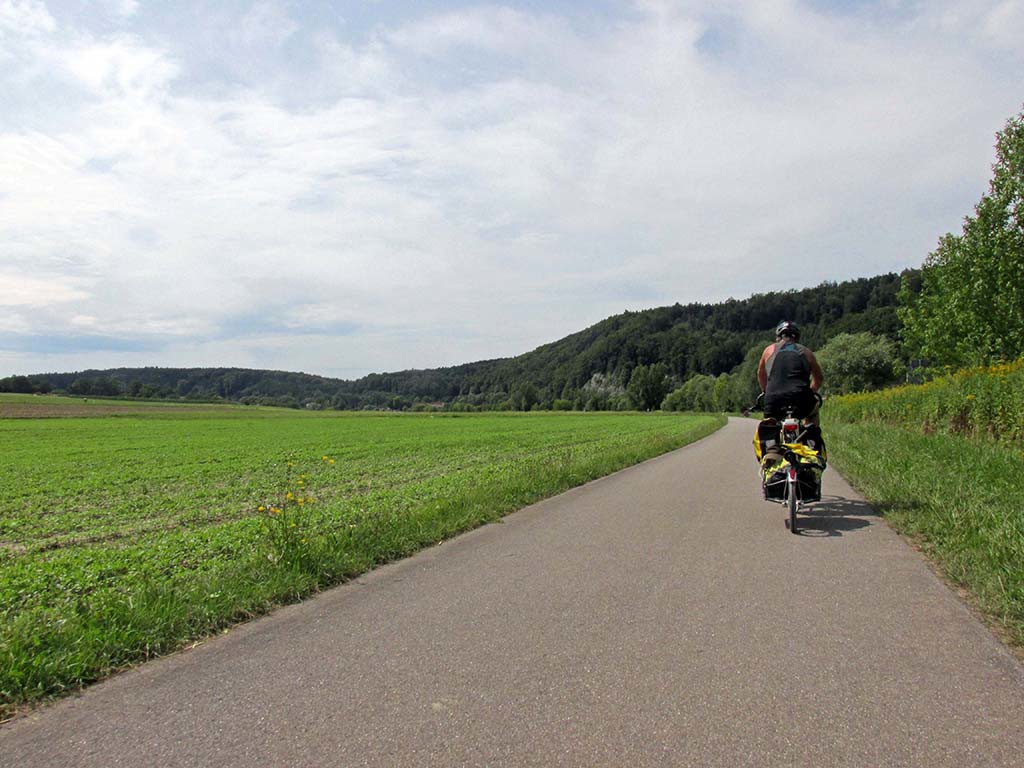
- Regensburg-Neustadt-Germany-bike paths-gravel

-
- Regensburg-Neustadt-Germany-bike paths-gravel

-
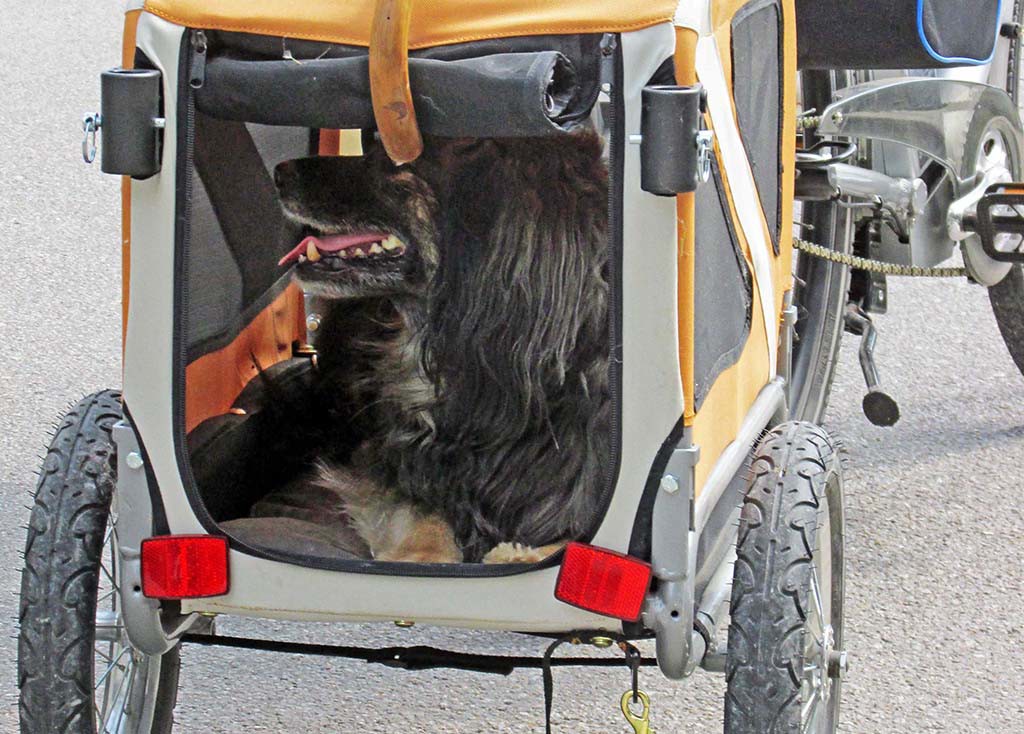
- Regensburg-Neustadt-Germany-dog carrier

-
- Regensburg-Neustadt-Germany-bike paths-gravel

We stopped in Oberndorf which is a charming little town with bier gartens for cyclists to stop and enjoy. There are flowers on every house and the church towers rise up from the village.
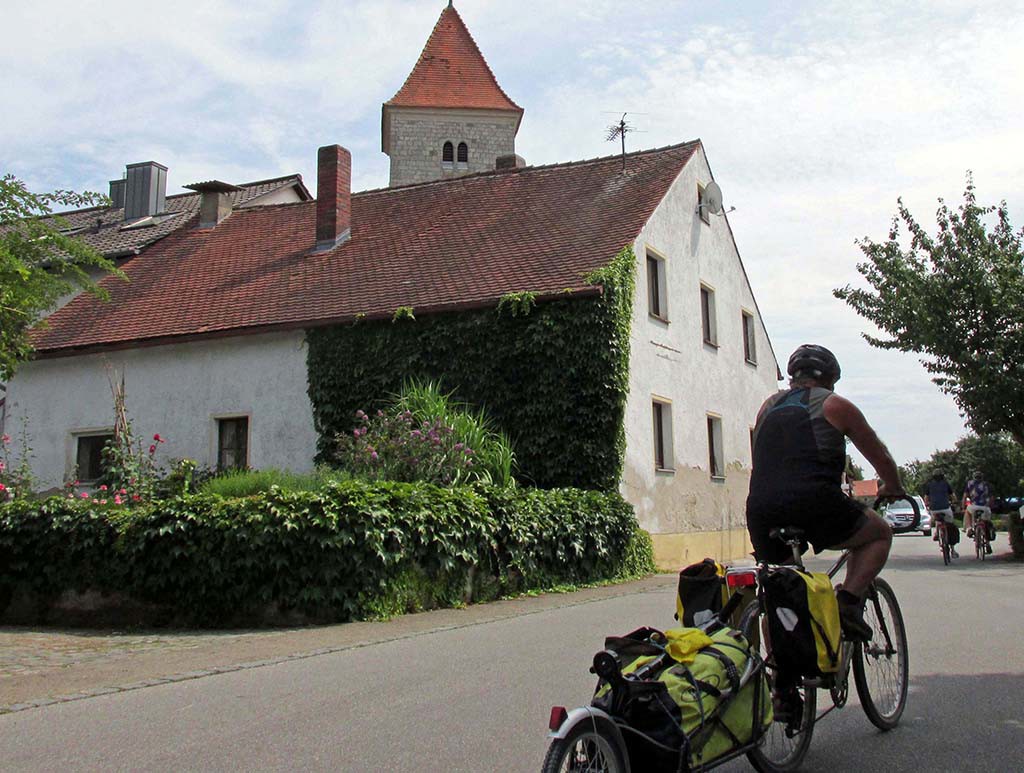
Regensburg-Neustadt-Germany-Oberndorf
The fun began when we got near Bad Abbach. What shows on the map is a bike trail through the town to a bridge that crosses over to Poikam. The bike path was not as shown on the map and signs were lacking so we had our usual fun looking around for the correct route. Finally, we got across a bridge to Poikam and the next stretch most of the way to Kelheim was gravel.
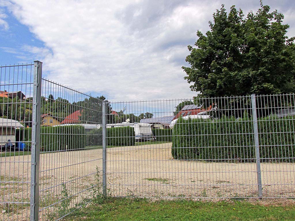
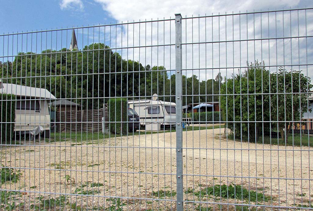
There were three campgrounds in Kapferberg that we thought we might stay at in preparation for taking the shuttle boat up the river from Kelheim the next day. But as we rode by these campgrounds, we realized they were for long term motor home type places and the tent sites did not seem too appealing.
-
- Regensburg-Neustadt-Germany-Kapferberg

-
- Regensburg-Neustadt-Germany-Kapferberg

Regensburg-Neustadt-Germany-bike paths-gravel
When we got to Kelheim campground 5 km east of Kelheim, the campground was up a very steep hill at a farm. The owner was already drunk and was swallowing who knows how many more beers before the evening would be over. We decided to move on knowing that there was no campground in Kelheim. We found a sports ground, but they were having a lot of sporting events so it didn’t seem possible to ask to camp there.
Kelheim looks like a wonderful town to visit. We wish we had been able to see it. There is a gate that leads down the main street of the town and we could see the wonderful buildings.
Regensburg-Neustadt-Germany-Kelheim
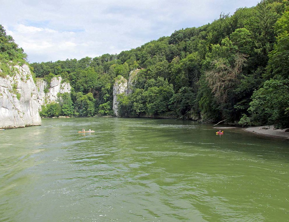
But they had no camping and we were unable to find a place. So as happened, the boat going up the Danube to Weltenburg was departing in 15 minutes. This is a 6 km boat ride up through a narrowing of the Danube. The official bike path goes up steeply and does a lot of climbing so Bikeline recommends taking this 45 minute ride on a sightseeing boat that takes bicycles. It cost $20 for two people and two bikes. It’s an extremely pleasurable thing to do.


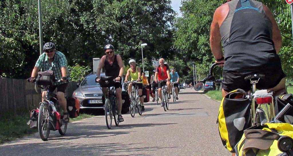
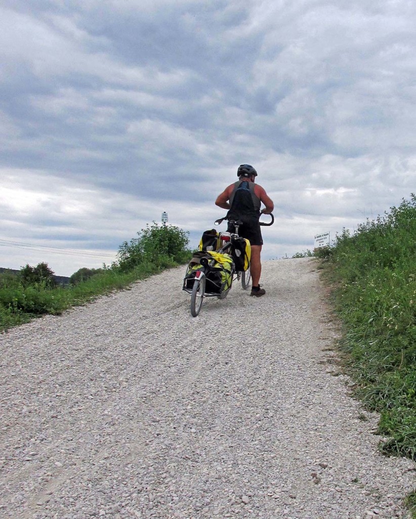
Boy, did we get into trouble after the boat ride. The map showed a short stretch on gravel and then back on country roads paved for half of the way to Neustadt where there was a campsite. We got on a gravel road and were following the signs for Donauradweg until a key intersection with no signs. We continued down the gravel route and saw another sign to the next town so we thought we were correct. We ended up on the worst possible gravel route along the Danube instead of the paved road route up into the interior. This was not really a designated route. Yet there must’ve been at least two dozen bicycles on it going to Eining. Either they thought it was a great shortcut or they got lost too. It was a single-track on two sides of a great big grassy hump. It was very rough rock and sometimes deep gravel.
-

- Regensburg-Neustadt-Germany-bike paths-gravel
-

- Regensburg-Neustadt-Germany-bike paths-gravel
We waded through this section and got to Eining where they were having some kind of a Sunday night celebration at the boat club. Well, the food was delicious and cheap so we ate two dinners each.
-

- Regensburg-Neustadt-Germany–Eining
We only had another 7 km to go to the campsite at Neustadt. But once again, we could not find the route that showed on the Bikeline map. So instead, we followed the Highway signs and we blitzed the Highway going 14 mph instead of four on those gravel roads.
We are a bit disappointed with the signing of the route here in Germany. We had a hard time following the sign for the Donauradweg route because the name kept changing and there were many other confusing routes signed as well. Sometimes there were no signs at intersections that seem important. The map did not have enough detail to clear up such confusions.
We are also quite surprised that so much of the route through Germany is on gravel. We have been so surprised by the amount of gravel here in Germany compared to Austria. They have these wonderful dikes and wonderful routes along the Danube already established, but the gravel has not been maintained or it is not in very good condition for road tires. Today we experienced large gravel in deep pockets on the designated routes. We see on the map that there are several more days of this ahead of us. We are going to try to find a route along the paved highways. We arrived at Neustadt by 7 PM after having had dinner in Eining. The campsite is quite lovely surrounded by fields of corn and other crops that we cannot identify. There is no restaurant at the campground, but the town of Neustadt appears to be within a kilometer. There is no Internet at the campground, but the bathroom building is 5 Star and has many plug in spots for electronics.
-

- Regensburg-Neustadt-Germany–Eining
-

- Regensburg-Neustadt-Germany–Neustadt campground